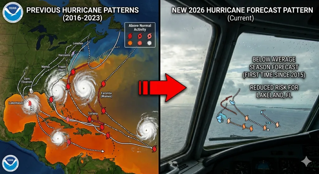
Yes, they did! NOAA released its initial seasonal outlook today, and for the first time in 11 years, forecasters are officially predicting a below-average Atlantic hurricane season.
This is a major shift after a decade dominated by mostly above-normal or hyperactive seasons.
Why the Shift? The El Niño Factor
The driving force behind this milder forecast is a developing El Niño in the Pacific, which is expected to strengthen significantly by the peak of the season (August through October).
El Niño fundamentally changes global atmospheric patterns. It creates strong vertical wind shear—strong, upper-level winds moving across the Caribbean and tropical Atlantic. This wind shear essentially rips developing storms apart before they can organize into powerful hurricanes.
By the Numbers: 2026 Forecast vs. Average
NOAA has placed a 55% probability on a below-normal season, predicting ranges that fall comfortably below what we typically see in a standard year.
| Metric | NOAA 2026 Forecast | Average Season (1991-2020) |
| Named Storms | 8 to 14 | 14 |
| Hurricanes | 3 to 6 | 7 |
| Major Hurricanes (Cat 3+) | 1 to 3 | 3 |
The Golden Rule: “It Only Takes One”
While this news brings a collective sigh of relief for coastal and inland communities alike, meteorologists and emergency officials are already urging everyone not to let their guard down.
A below-average overall season doesn’t mean a quiet year for landfalls. A prime historical example is the 1992 season: it was highly suppressed and produced only seven named storms, but the very first one was Hurricane Andrew, which devastated South Florida as a Category 5.
Because local steering currents and daily weather setups determine exactly where a storm travels—things that can’t be predicted months in advance—the standard advice remains the exact same: keep your hurricane supply kits stocked and your evacuation plans ready to go by June 1st.